

Cathance River Nature Preserve
Cathance River Nature Preserve Info
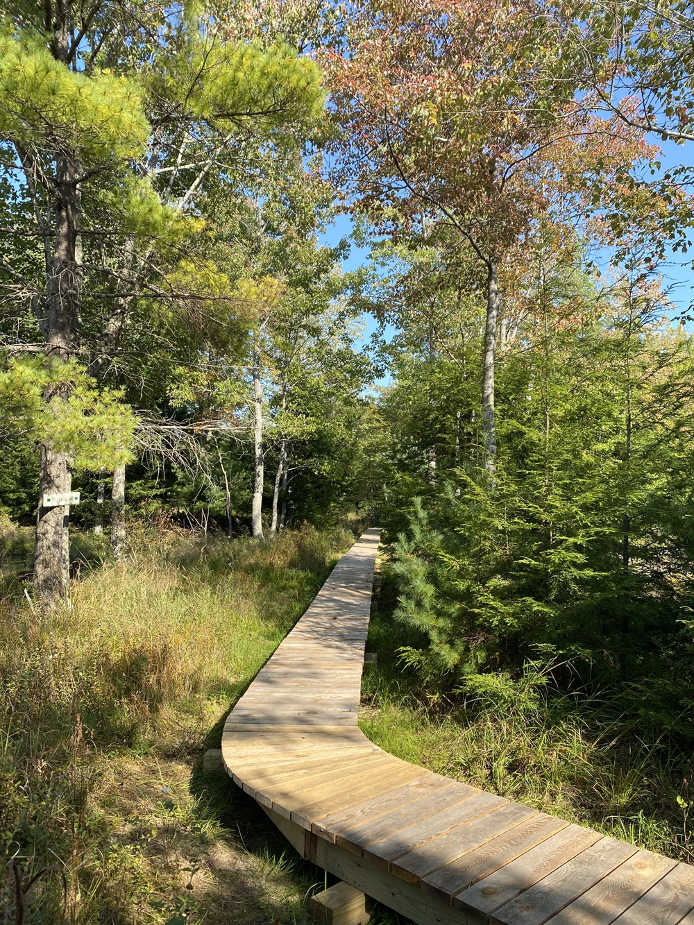
Cathance River Nature Preserve (CRNP) in Topsham offers a gateway to over six miles of trails through forests and wetlands that follow nearly 8,000 feet of the scenic Cathance River to Head of Tide Park. With views of rapids, flatwater, and a large heath fen, the Preserve is part of a 1,270-acre conservation corridor and protects vital wildlife habitat and water quality while providing year-round opportunities for hiking, birding, and paddling. Connected to Head of Tide Park, which features picnic areas, a 15-foot waterfall, and two boat launches, the preserve is a peaceful place to explore nature and enjoy one of Maine’s most ecologically significant rivers.

Cathance River Nature Preserve Trail Map

Trail Features:
- Snowshoeing
- Hiking
- Birding
- The Ecology Center – Learn more
- eBird.org – Check out what types of birds are seen on this property!
Trail Restrictions:
- Open dawn to dusk.
- No dogs permitted at CRNP (west of Clay Brook Bridge). On-leash dogs permitted east of Clay Brook Bridge.
- No off-road vehicles, bicycles, snowmobiles, or horses.
- No fires or camping.
- Stay on marked trails.
- No hunting or trapping.
Directions:
CRNP is located at the Highland Green development in Topsham. From Route 201 in Topsham, take Route 196 east to the first set of lights. Turn left at the lights into Highland Green on Village Drive and continue straight to where Village Drive intersects with Mountain Road and Evergreen Circle. Continue straight on Evergreen Circle at the intersection with Mountain Road past the Community Center and continue approximately .8 miles to the Ecology Center parking area on your left. No parking is allowed on the streets of Highland Green.

Views from the trail




Love the Trails?
Support them! Donate, Volunteer, or Get Involved today.